Back in 2011 I wrote a script to automate the scraping of the public GIS layers that the Province of Prince Edward Island makes available.
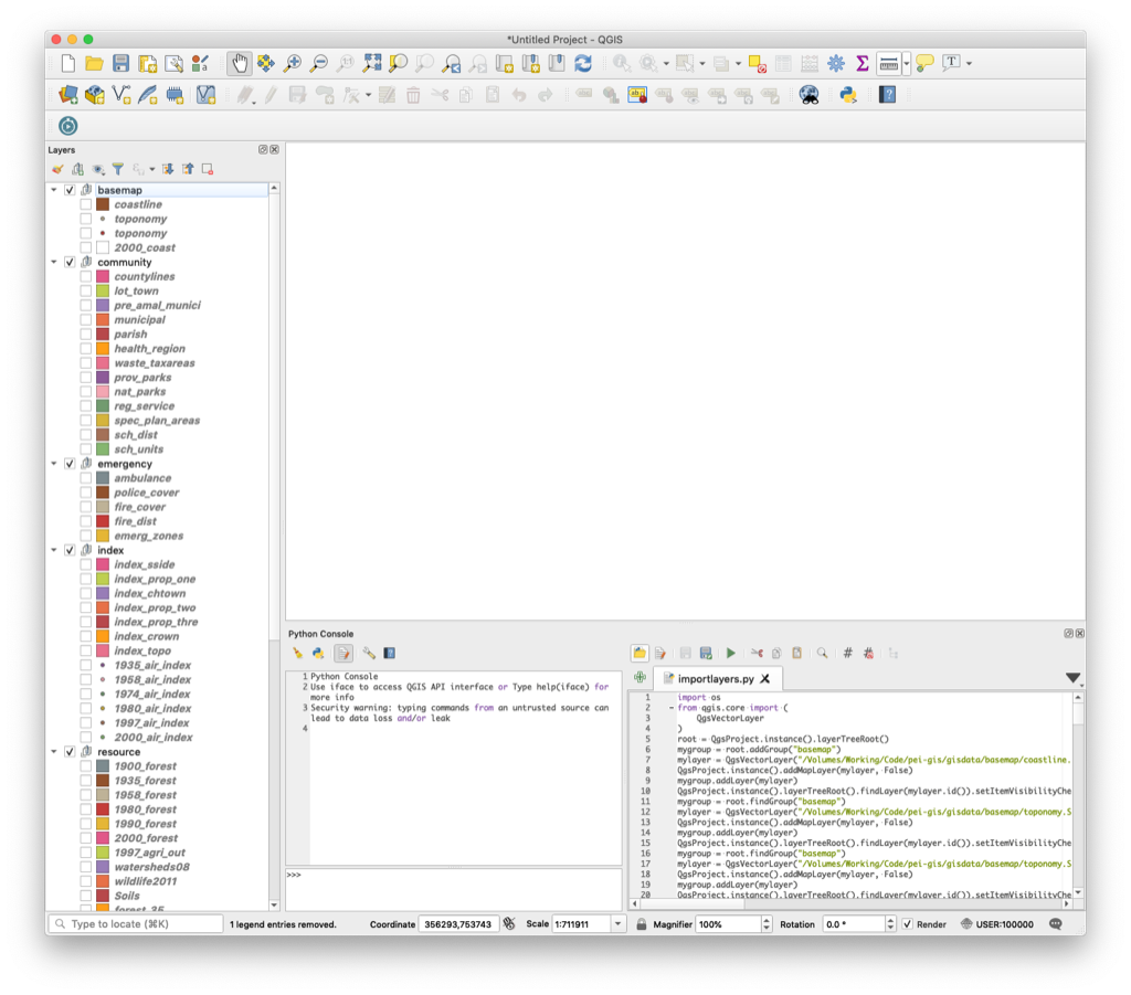
I’ve updated this script now–download it here–to handle the now blessedly simpler way the downloads work now (you don’t need to register to download any longer), and I’ve added the generation of a PyQGIS script that will automatically load all the downloaded layers into a QGIS project, ready for entertainment and delight.
Image may be NSFW.
Clik here to view.